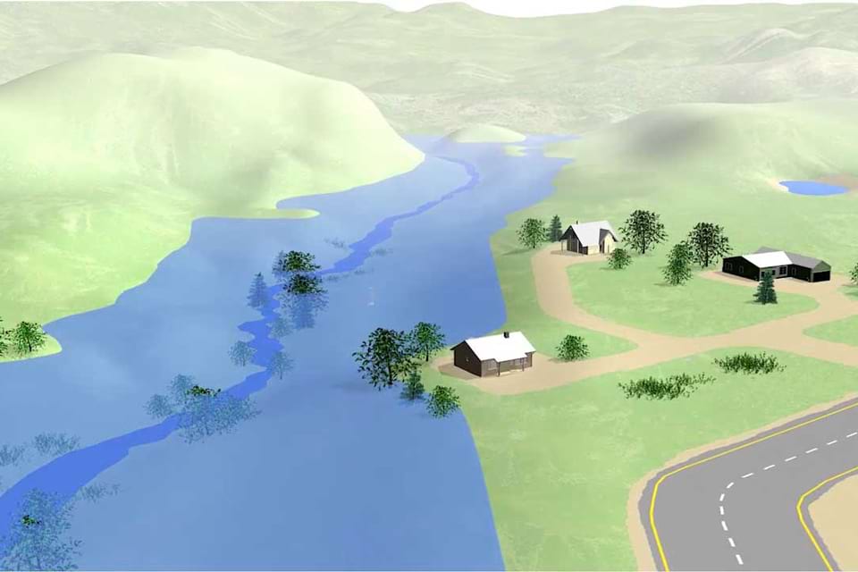
Scientists at the National Geodetic Survey have completed a 16-year-long project to collect airborne gravity data over the entire US and its territories. This project is called the Gravity for the Redefinition of the American Vertical Datum, or GRAV-D for short. When it is completed, you will be able to get accurate heights to within about an inch for most locations around the nation.


