Category: Uncategorized

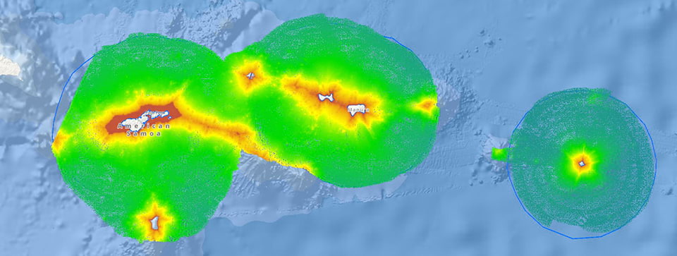
In 2022 and 2023, the NOAA Ship Rainier set course for months-long journeys to the western Pacific Ocean so the researchers on board could fill gaps in our knowledge about waters under U.S. jurisdiction. These two RICHARD (Rainier Integrates Charting Hydrography and Reef Demographics) missions were a collaboration between NOAA’s Office of Coast Survey, Coral […]
Read more

Alaska has the longest coastline of any state in the nation. The state is also tectonically active and known for its challenging weather and ocean conditions. Many federal agencies are involved with the modernization of critical geospatial data and mapping products for Alaska, with NOAA’s National Geodetic Survey (NGS) playing a leading role. Continue reading […]

Read more

Scientists at the National Geodetic Survey have completed a 16-year-long project to collect airborne gravity data over the entire US and its territories. This project is called the Gravity for the Redefinition of the American Vertical Datum, or GRAV-D for short. When it is completed, you will be able to get accurate heights to within […]

Read more

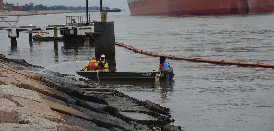
The U.S. Department of Justice has announced a proposed settlement of approximately $33 million to compensate the public for decades of hazardous substance releases and oil discharges into Oregon’s Portland Harbor and Willamette River. The proposed settlement is the result of a collaboration between federal, state and tribal partners to assess injuries to wildlife and […]

Read more

The National Ocean Service provides wide-ranging support for the coastal economy — from overhauling marine navigation data, to providing 24/7 high tide flooding outlooks, to ugrading the availability of real-time water and weather data in our nation’s busiest ports. Learn how our infrastructure and technological investments strengthen the resilience of our coastal economy in the […]

Read more

NOS is stepping into a larger role relative to filling our nation’s needs for data, products, and services that protect our ecosystems and enhance climate and economic resilience. The newly released NOS Strategic Plan focuses on four overarching goals: increase U.S. coastal resilience, make equity central to our mission, accelerate growth of the Ocean Enterprise […]

Read more

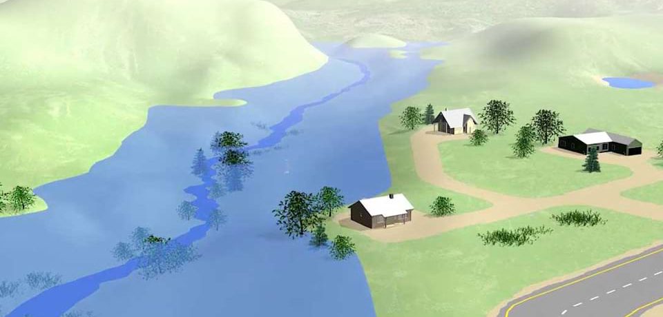
The National Ocean Service Modeling Advisory Board has released a five-year strategy to improve prediction of risks to coastal and Great Lakes communities facing the physical and economic threats posed by climate change. Under the NOS Modeling Strategy 2023–2028, NOS will work with partners across NOAA, other federal agencies, academia, industry, nonprofits, and local, state, […]

Read more

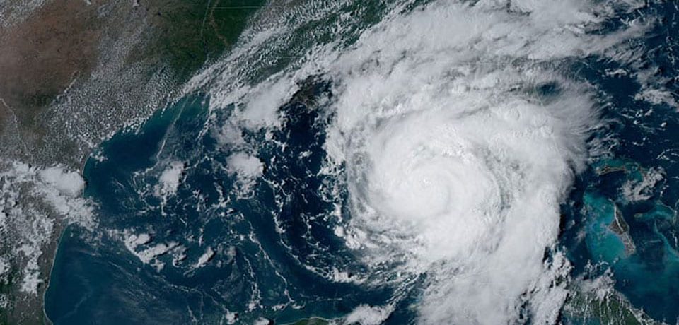
From August 31 – September 2, 2023, the National Geodetic Survey collected aerial damage assessment images in the aftermath of Hurricane Idalia. Imagery was collected in specific areas by NOAA aircraft, identified by NOAA in coordination with FEMA and other state and federal partners. Collected images are available to view online via the NGS aerial […]

Read more
Bitnami