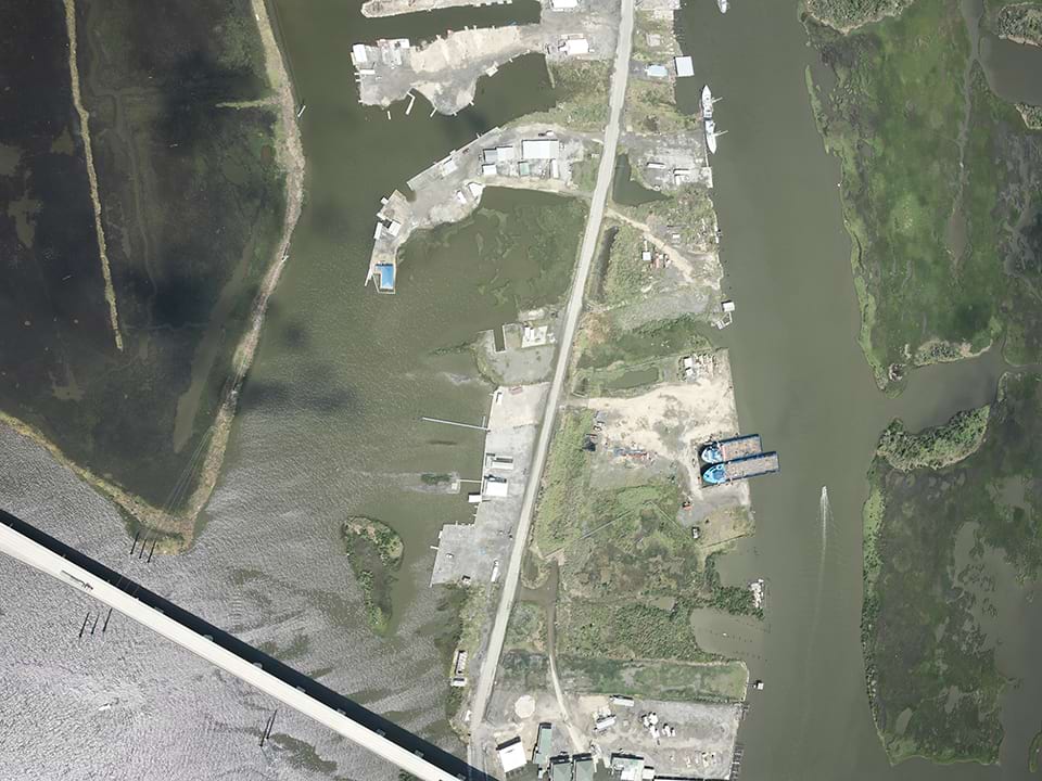
The National Geodetic Survey (NGS) is collecting aerial damage assessment images in the aftermath of Hurricane Francine. Aerial imagery is a crucial tool to determine the extent of the damage inflicted by flooding, and to compare baseline coastal areas to assess the damage to major ports and waterways, coastlines, critical infrastructure, and coastal communities.